Landforms
The Canning Stock Route (CSR) crosses some of the harshest yet most beautiful desert Country in Australia. It traverses six IBRA bioregions (Interim Bio-Regionalisation of Australia): the Murchison, Gascoyne, Little Sandy Desert, Great Sandy Desert, Gibson Desert and Tanami Desert. Relative to other areas of Australia, Country surrounding the CSR is mostly undisturbed. It has not been impacted by intensive land uses — such as urbanisation, pastoralism or other agriculture — and consequently its diversity of landforms, flora and fauna are largely intact.
Despite its arid status, Country around the CSR abounds with life and has long provided sustenance for the Traditional Owners. Many of the native animals in this Country no longer live in other parts of their former range and the desert remains a stronghold for their survival. The area is, however, affected by threatening landscape scale processes such as altered fire regimes, predation of fauna by feral predators, the impacts of feral herbivores on habitat and water source quality and the introduction of invasive flora species such as Buffel Grass.
Due to the original purpose of the CSR — the commercial movement of stock from the Kimberley to the Goldfields — its alignment was chosen to minimise overall distance and maximise access to fresh water.
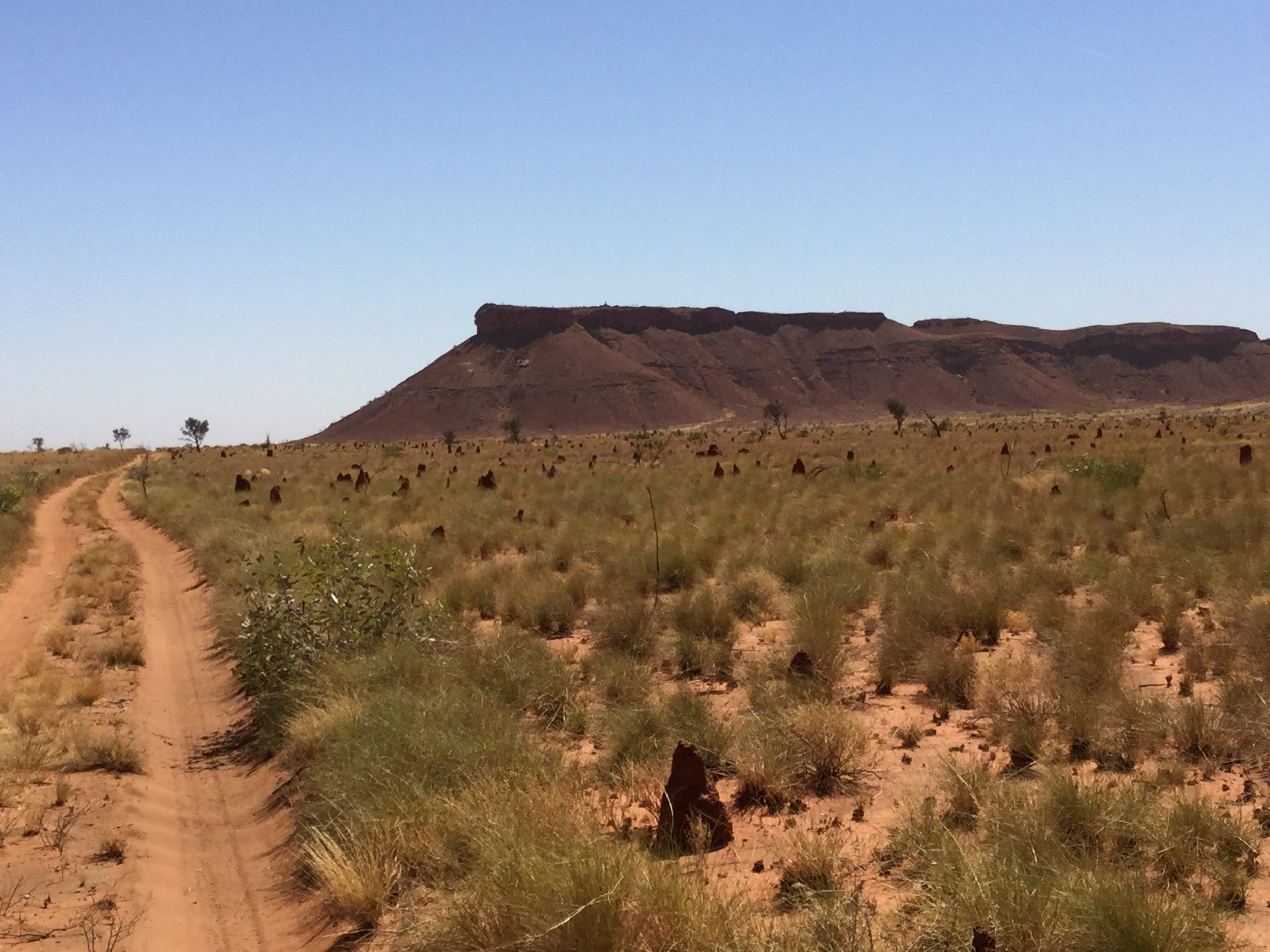
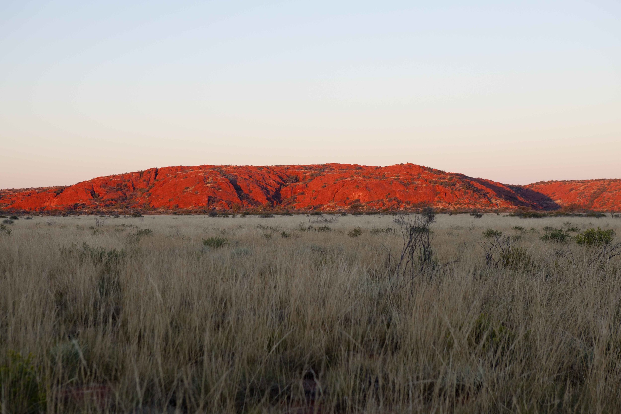
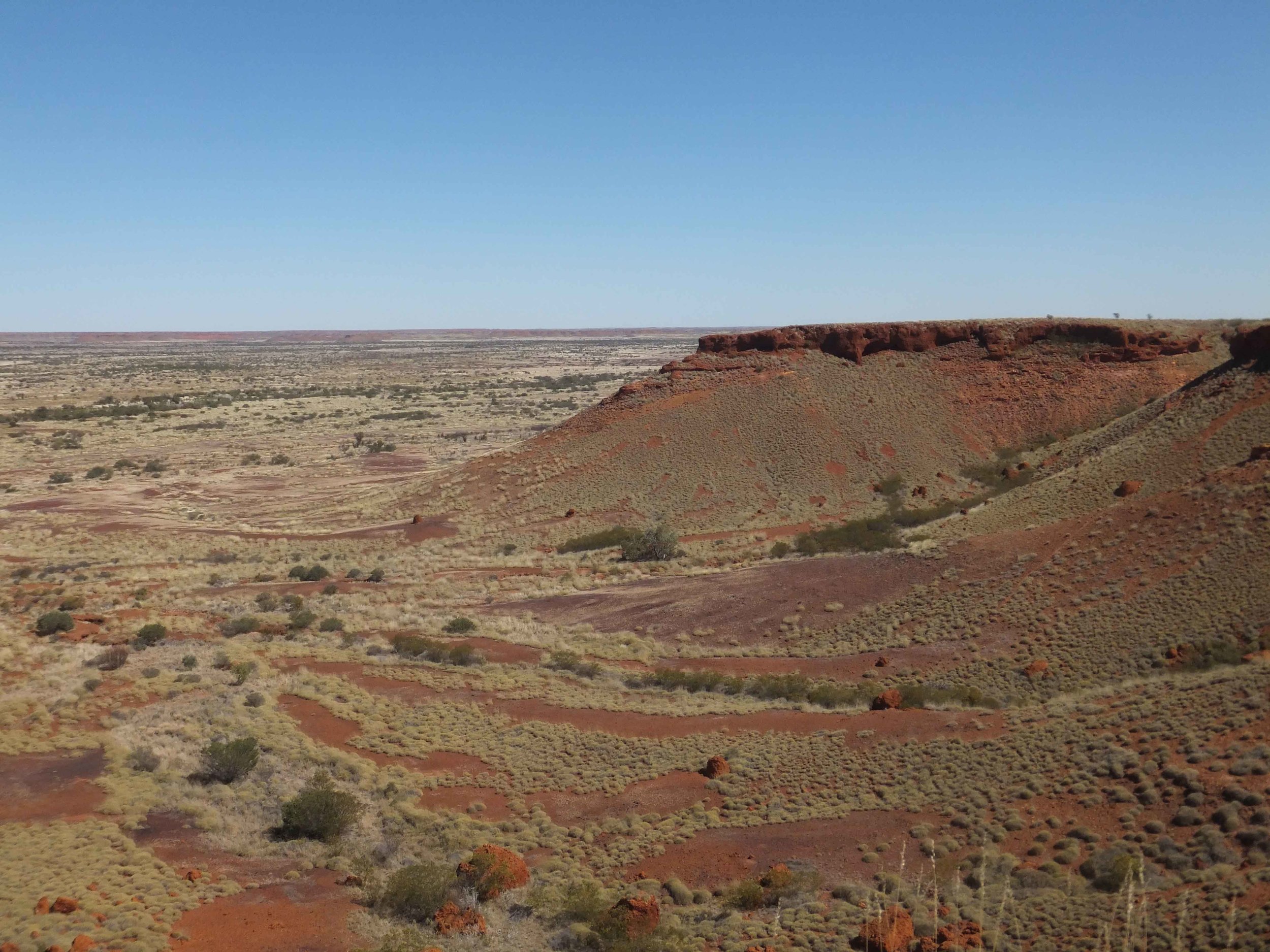
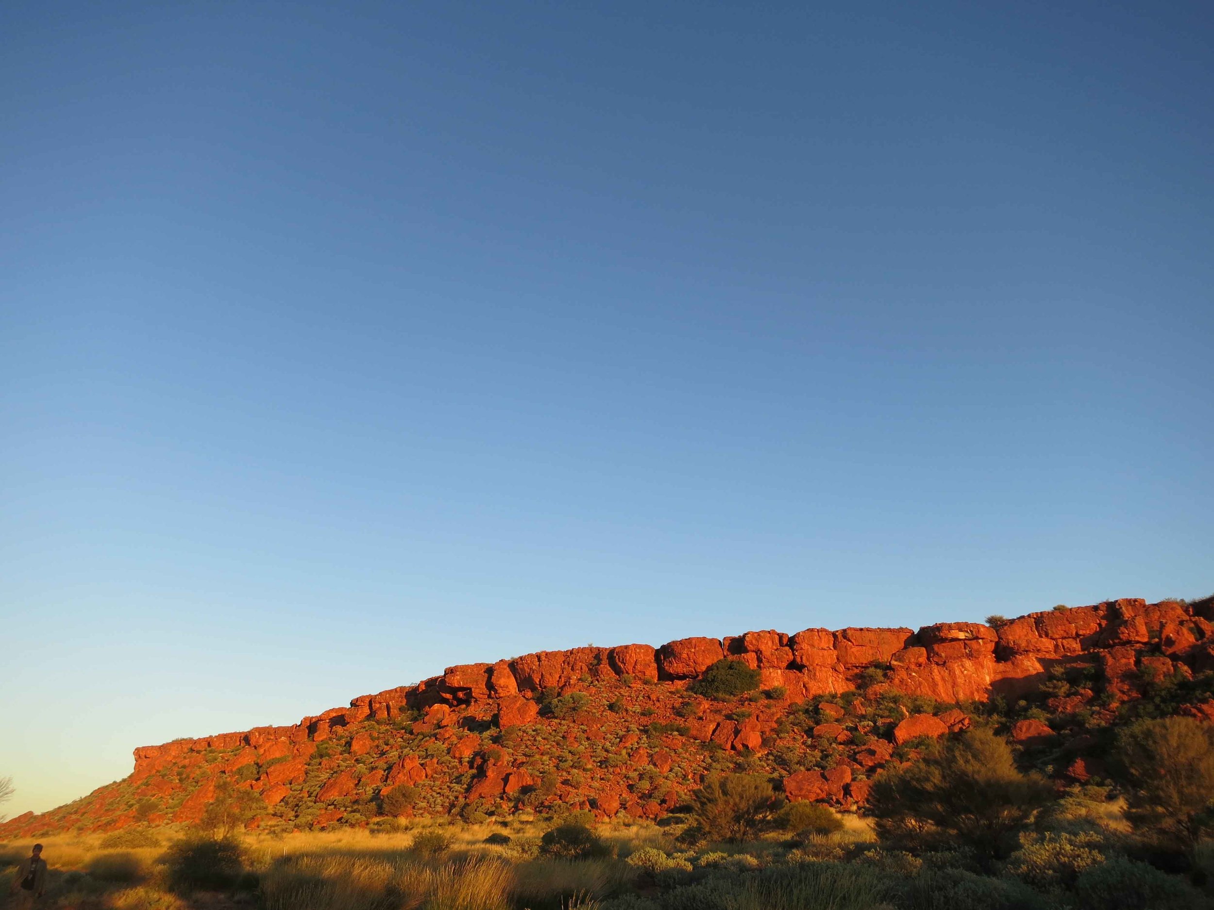
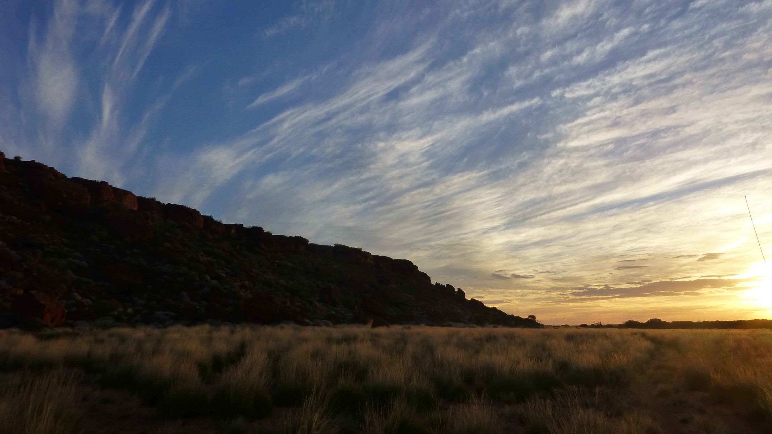
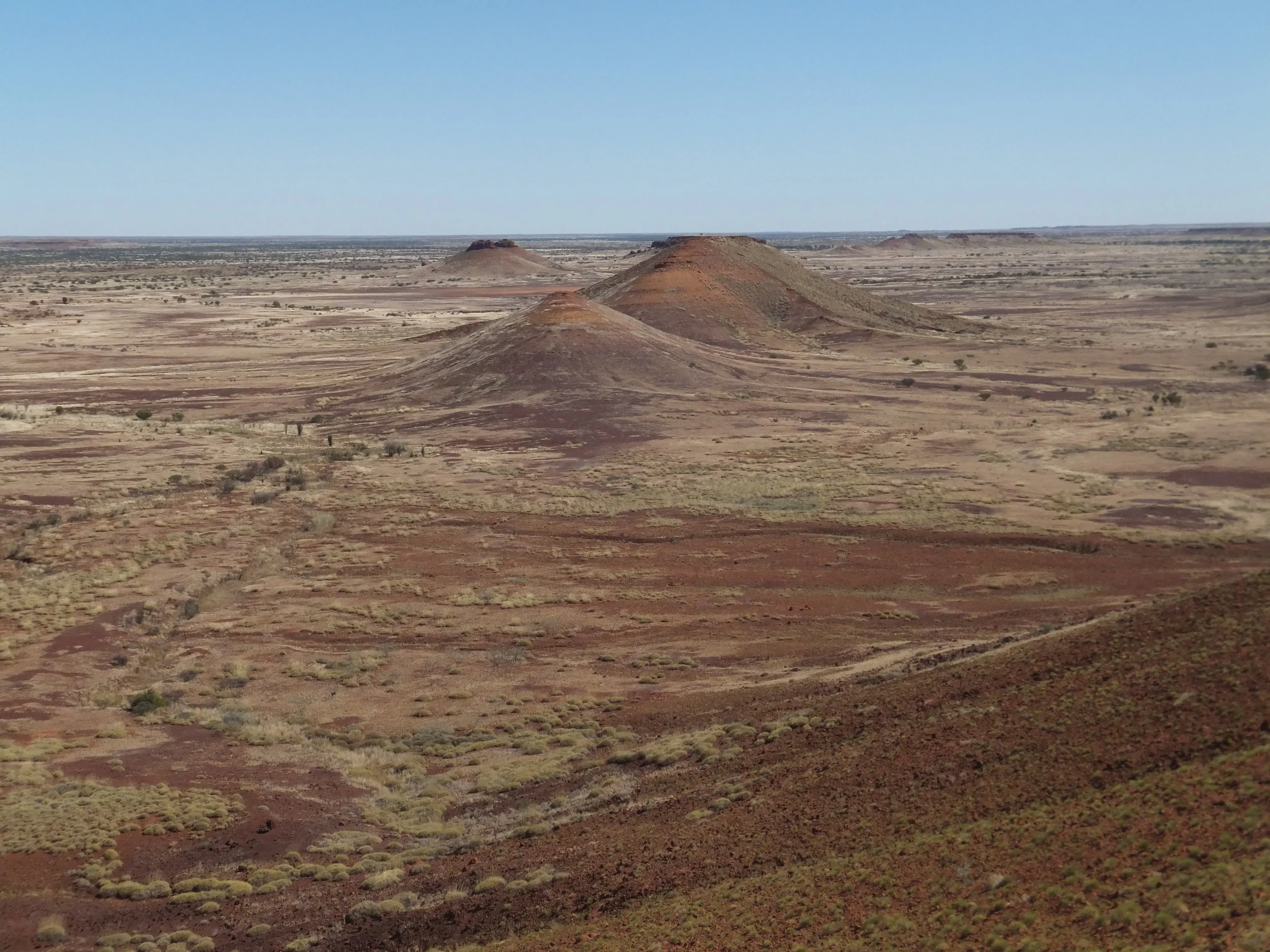
The CSR goes between (or close to) water sources used intensively by Traditional Owners. Travelling the CSR, you will encounter salt lake systems, claypans, major creeks, rocky ranges, gravel rises, sand dunes and sand plains. Combinations of these landform types correspond with areas of ecological significance, partly because these habitat types are not often extensive, or are fragmented and isolated and create a diversity of habitat types in any given area.
The lake systems and sandstone ranges of the CSR are in fact, not typical land surface types for these deserts. Much of the land area of these desert bioregions is covered by fairly uniform spinifex grassland communities.